

Manaslu topographic map
Click on the map to display elevation.
Manaslu
The Manaslu region offers a variety of trekking options. The popular Manaslu trekking route of 177 kilometres (110 mi) skirts the Manaslu massif over the pass down to Annapurna. The Nepalese Government only permitted trekking on this circuit in 1991. The trekking trail follows an ancient salt-trading route along the Budhi Gandaki River. En route, 10 peaks over 6,500 metres (21,325 ft) are visible, including a few over 7,000 metres (22,966 ft). The highest point reached along the trek route is Larkya La at an elevation of 5,106 metres (16,752 ft). As of May 2008, the mountain has been climbed 297 times with 53 fatalities.
About this map
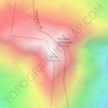
Name: Manaslu topographic map, elevation, terrain.
Location: Manaslu, Chum Nubri, Gorkha, Gandaki Province, Nepal (28.54993 84.55968 28.55003 84.55978)
Average elevation: 7,069 m
Minimum elevation: 5,647 m
Maximum elevation: 8,038 m