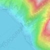
Thun topographic map
Click on the map to display elevation.
Thun
The center of Thun is located on the Aare, just downstream of the point where that river flows out of Lake Thun, and encompasses both banks of the river and an island between. The town covers an area of 21.6 km2 (8.3 sq mi), with the town boundaries reaching up to 4 km (2.5 mi) from the town centre. The town ranges in altitude between about 560 m (1,840 ft), in the town center, and 1,170 m (3,840 ft), on its eastern boundary.
About this map
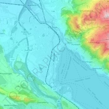
Name: Thun topographic map, elevation, terrain.
Average elevation: 637 m
Minimum elevation: 545 m
Maximum elevation: 1,138 m
Other topographic maps
Click on a map to view its topography, its elevation and its terrain.
Sigriswiler Rothorn
Switzerland > Bern > Thun administrative district > Sigriswil
Average elevation: 1,552 m

Chlinismad
Switzerland > Bern > Thun administrative district > Forst-Längenbühl > Längenbühl
Average elevation: 638 m