Geolocate

Orrtanna topographic map

Click on the map to display elevation.

About this map

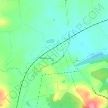
Name: Orrtanna topographic map, elevation, terrain.

Location: Orrtanna, Adams County, Pennsylvania, United States (39.84047 -77.36515 39.85196 -77.35317)

Average elevation: 205 m

Minimum elevation: 176 m

Maximum elevation: 273 m

Gear up for your next adventure:

🧥Softshell Jacket - Windproof and breathable jacket for hiking
🥾Trekking Poles - Adjustable trekking poles to reduce knee stress and improve stability
🥾Waterproof Trail Shoes - Shoes designed to handle wet terrain
Camping Coffee Maker - Brew fresh coffee anywhere on the topographic map
🍽️Titanium Camping Spork - Ultralight and indestructible eating utensil

As an Amazon Associate, this site earns from qualifying purchases at no extra cost to you.