

Eifel topographic map
Click on the map to display elevation.
Eifel
The Eifel is in the Atlantic climate zone with its relatively high precipitation; winters that are moderately cold and long with periods of snow; and summers that are often humid and cool. The prevailing wind is west/southwest. A relatively dry and milder climate prevails in the wind and rain shadow of the High Eifel. Cold air from Siberia in the higher elevations of the Eifel has less of an impact on weather conditions, as the proximity of the Atlantic Ocean to the Eifel brings milder sea air to the Eifel even in winter.
About this map
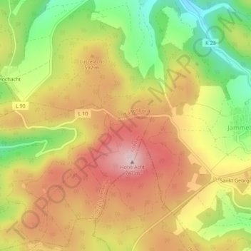
Name: Eifel topographic map, elevation, terrain.
Average elevation: 585 m
Minimum elevation: 428 m
Maximum elevation: 717 m