Turlock topographic map
Click on the map to display elevation.
Turlock
Turlock lies in Stanislaus County, at 37°30′21″N 120°50′56″W / 37.50583°N 120.84889°W / 37.50583; -120.84889 (37.505725, −120.849019), between the cities of Modesto and Merced, at the intersection of State Route 99 and State Route 165. Its elevation is about 31 m (101 ft) above MSL. According to the United States Census Bureau, the town has a total area of 16.9 square miles (44 km2), all of it land.
About this map
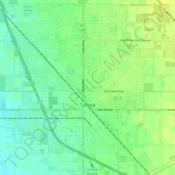
Name: Turlock topographic map, elevation, terrain.
Location: Turlock, Stanislaus County, California, United States (37.46609 -120.90367 37.53753 -120.81210)
Average elevation: 34 m
Minimum elevation: 26 m
Maximum elevation: 41 m
Other topographic maps
Click on a map to view its topography, its elevation and its terrain.