Geolocate

Hiram topographic map

Click on the map to display elevation.

About this map

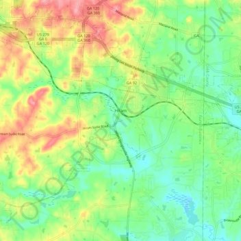
Name: Hiram topographic map, elevation, terrain.

Location: Hiram, Paulding County, Georgia, United States (33.83062 -84.83364 33.91318 -84.72438)

Average elevation: 306 m

Minimum elevation: 268 m

Maximum elevation: 365 m

Gear up for your next adventure:

🩹Compact First Aid Kit - Pre-packed essentials for common trail injuries
🥾Hiking Shorts - Breathable shorts suitable for summer hikes
🥾Mountain Hiking Shoes - Shoes with superior grip for mountainous terrain
🔪Outdoor Multitool - Versatile tool for repairs and food prep in the wild
Lightweight Camping Tent - Portable shelter optimized for Canadian backcountry camping

As an Amazon Associate, this site earns from qualifying purchases at no extra cost to you.