Stevens Pass topographic map
Click on the map to display elevation.
Stevens Pass
Stevens Pass (elevation 4,061 ft (1,238 m)) is a mountain pass through the Cascade Mountains located at the border of King County and Chelan County in Washington, United States. U.S. Route 2 travels over the pass, reaching a maximum elevation of 4,061 feet (1,238 m). The Pacific Crest Trail crosses the highway at Stevens Pass. The BNSF Railway's Cascade Tunnel lies 1,180 feet (400 m) below the pass summit.
About this map
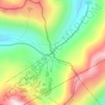
Name: Stevens Pass topographic map, elevation, terrain.
Location: Stevens Pass, King County, Washington, United States (47.74559 -121.08922 47.74569 -121.08912)
Average elevation: 1,387 m
Minimum elevation: 1,093 m
Maximum elevation: 1,753 m
Other topographic maps
Click on a map to view its topography, its elevation and its terrain.
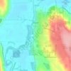
Snoqualmie Mill Pond
United States > Washington > King County > Snoqualmie Falls
Average elevation: 139 m
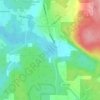
Chester Morse Lake
United States > Washington > King County
Chester Morse Lake (originally Cedar Lake) is a lake in the upper region of the Cedar River watershed in the U.S. state of Washington. The original lake surface was 1,530 feet (466 m) above sea level, but when the river was dammed in 1900, the elevation was raised to 1,560 feet (475 m). Chester Morse Lake is…
Average elevation: 735 m
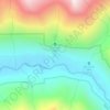
Lake City Memorial Triangle
United States > Washington > King County > Seattle
Average elevation: 61 m
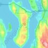
Mercer Island
United States > Washington > King County > Mercer Island
Mercer Island City Hall is located at 47°34′39″N 122°12′43.2″W / 47.57750°N 122.212000°W / 47.57750; -122.212000 (47.5775, -122.212). The peak elevation in the city is about 338 feet (103 m), near the center of the island.
Average elevation: 39 m