Geolocate

Cortes topographic map

Click on the map to display elevation.

About this map
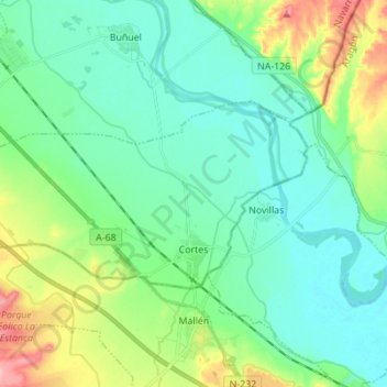
Name: Cortes topographic map, elevation, terrain.

Location: Cortes, Ribera / Erribera, Navarre, 31530, Spain (41.91307 -1.51790 41.96325 -1.38009)

Average elevation: 261 m

Minimum elevation: 228 m

Maximum elevation: 360 m

Gear up for your next adventure:

🪑Ultralight Camping Stool - Compact seating for rest stops during long hikes
🔭Compact Monocular - One-handed bird watching and trail spotting
🔋Emergency Crank Radio - Weather alerts and power without needing batteries
👖Convertible Hiking Pants - Zip-off legs to adapt to changing weather conditions
🧴Sunscreen SPF - Broad-spectrum sunscreen for outdoor activities

As an Amazon Associate, this site earns from qualifying purchases at no extra cost to you.