Geolocate

Flanders topographic map

Click on the map to display elevation.

About this map

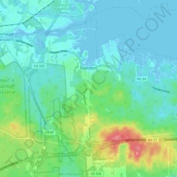
Name: Flanders topographic map, elevation, terrain.

Location: Flanders, Town of Southampton, Suffolk County, New York, United States (40.86808 -72.64907 40.92241 -72.55615)

Average elevation: 16 m

Minimum elevation: -3 m

Maximum elevation: 69 m

Other topographic maps

Click on a map to view its topography, its elevation and its terrain.

Gear up for your next adventure:

🔦LED Headlamp - Hands-free lighting for early morning starts or late finishes
🧭GPS Tracker - Track your location in remote areas safely
🧥Thermal Layer - Insulating layer for cold outdoor conditions
🧼Travel Hand Sanitizer - Keep hands clean when water is scarce
🛌Insulated Sleeping Pad - Critical thermal barrier between you and the cold ground

As an Amazon Associate, this site earns from qualifying purchases at no extra cost to you.