Geolocate

Point Barrow topographic map

Click on the map to display elevation.

About this map

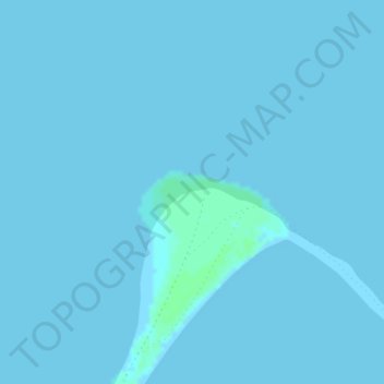
Name: Point Barrow topographic map, elevation, terrain.

Location: Point Barrow, North Slope, Alaska, United States (71.38647 -156.47419 71.38657 -156.47409)

Average elevation: 0 m

Minimum elevation: 0 m

Maximum elevation: 4 m

Other topographic maps

Click on a map to view its topography, its elevation and its terrain.

Thunder Creek

United States > Alaska > North Slope

Average elevation: 731 m

Gear up for your next adventure:

🥾Trail Hiking Shoes - Durable shoes designed for rugged trails
🥾Light Trekking Boots - Supportive boots for multi-day treks
🥾Approach Boots - Comfortable boots for hiking and climbing approaches
🥾Waterproof Hiking Boots - Essential footwear for rugged terrain and wet Canadian trails
🧥Insulated Jacket - Keep warm in cold outdoor conditions

As an Amazon Associate, this site earns from qualifying purchases at no extra cost to you.