Geolocate

Zevenbergen topographic map

Click on the map to display elevation.

About this map

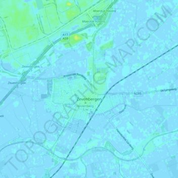
Name: Zevenbergen topographic map, elevation, terrain.

Location: Zevenbergen, Moerdijk, North Brabant, Netherlands (51.62393 4.55953 51.67284 4.65752)

Average elevation: 1 m

Minimum elevation: -4 m

Maximum elevation: 13 m

Other topographic maps

Click on a map to view its topography, its elevation and its terrain.

Berkhoek

Netherlands > North Brabant > Udenhout

Average elevation: 11 m

Gear up for your next adventure:

🧴Bear Spray Holster - Quick-access carry for essential Canadian wilderness safety
🛶Waterproof Dry Bags - Keep electronics and clothes dry during river crossings
🧦Hiking Liner Socks - Thin base layer to prevent friction and blisters
🦶Anti-Blister Balm - Prevents friction and hotspots during long ascents
🧥Thermal Fleece Jacket - Versatile insulation for changing mountain temperatures

As an Amazon Associate, this site earns from qualifying purchases at no extra cost to you.