
Son Tay topographic map
Interactive map
Click on the map to display elevation.
About this map
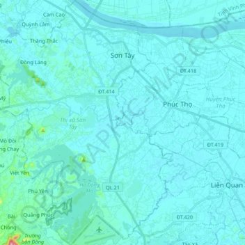
Name: Son Tay topographic map, elevation, terrain.
Location: Son Tay, Hà Nội, Vietnam (21.02063 105.41483 21.17267 105.53801)
Average elevation: 18 m
Minimum elevation: 3 m
Maximum elevation: 235 m
Other topographic maps
Click on a map to view its topography, its elevation and its terrain.
No10 - Group 8 LeMat village
No10 - Group 8 LeMat village, Phường Việt Hưng, Long Bien District, Hà Nội, Vietnam
Average elevation: 9 m