
Rapid City topographic map
Interactive map
Click on the map to display elevation.
About this map
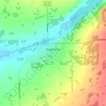
Name: Rapid City topographic map, elevation, terrain.
Location: Rapid City, Manitoba, Canada (50.10769 -100.06119 50.12998 -100.01527)
Average elevation: 503 m
Minimum elevation: 476 m
Maximum elevation: 539 m