
Windham topographic map
Interactive map
Click on the map to display elevation.
About this map
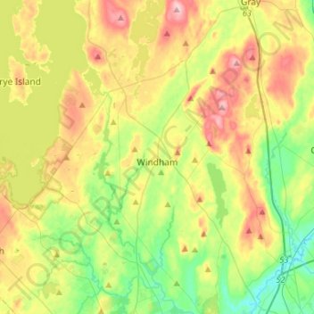
Name: Windham topographic map, elevation, terrain.
Location: Windham, Cumberland County, Maine, United States (43.69741 -70.48674 43.88658 -70.32438)
Average elevation: 77 m
Minimum elevation: 4 m
Maximum elevation: 183 m