
Franklin Township topographic map
Interactive map
Click on the map to display elevation.
About this map
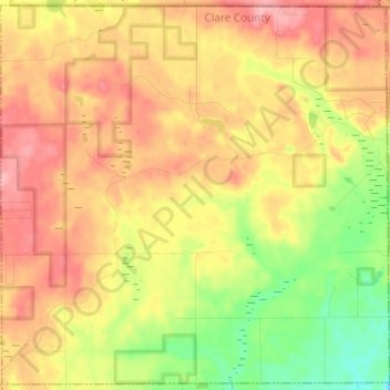
Name: Franklin Township topographic map, elevation, terrain.
Location: Franklin Township, Clare County, Michigan, United States (44.07547 -84.72878 44.16078 -84.60687)
Average elevation: 346 m
Minimum elevation: 284 m
Maximum elevation: 401 m