
Thank you for supporting this site ❤️
Make a donation
Make a donation
Gear up for your next adventure:
As an Amazon Associate, this site earns from qualifying purchases at no extra cost to you.
Spiekeroog topographic map
Click on the map to display elevation.
Thank you for supporting this site ❤️
Make a donation
Make a donation
Gear up for your next adventure:
As an Amazon Associate, this site earns from qualifying purchases at no extra cost to you.
About this map
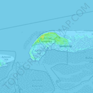
Name: Spiekeroog topographic map, elevation, terrain.
Location: Spiekeroog, Landkreis Wittmund, Lower Saxony, 26474, Germany (53.74969 7.66598 53.78232 7.81724)
Average elevation: 0 m
Minimum elevation: -3 m
Maximum elevation: 16 m
Thank you for supporting this site ❤️
Make a donation
Make a donation
Gear up for your next adventure:
As an Amazon Associate, this site earns from qualifying purchases at no extra cost to you.