
Sainte-Thècle topographic map
Interactive map
Click on the map to display elevation.
About this map
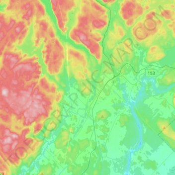
Name: Sainte-Thècle topographic map, elevation, terrain.
Location: Sainte-Thècle, Mékinac, Mauricie, Quebec, G0X 3G0, Canada (46.74780 -72.71522 46.94029 -72.43278)
Average elevation: 231 m
Minimum elevation: 98 m
Maximum elevation: 464 m