Geolocate

El Prado topographic map

Click on the map to display elevation.

About this map

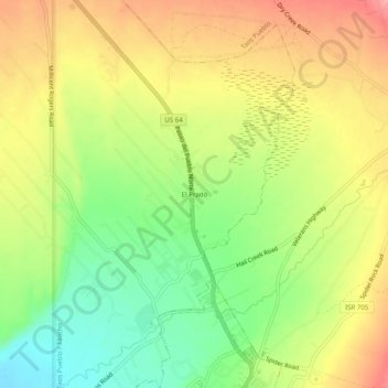
Name: El Prado topographic map, elevation, terrain.

Location: El Prado, Taos County, New Mexico, 87571, United States (36.41226 -105.59514 36.45226 -105.55514)

Average elevation: 2,145 m

Minimum elevation: 2,091 m

Maximum elevation: 2,199 m

Gear up for your next adventure:

🪑Ultralight Camping Stool - Compact seating for rest stops during long hikes
🥾Trail Hiking Socks - Comfortable socks to prevent blisters and fatigue
🥾Trail Hiking Shoes - Durable shoes designed for rugged trails
🧢Hiking Sun Hat - Wide-brimmed protection for exposed mountain ridges
Backpacking Tent - Lightweight tent for long-distance hiking trips

As an Amazon Associate, this site earns from qualifying purchases at no extra cost to you.