

Großer Arber topographic map
Click on the map to display elevation.
Großer Arber
The Großer Arber (German pronunciation); Czech: Velký Javor, "Great Maple") or Great Arber, is the highest peak of the Bavarian/Bohemian Forest mountain range and in Lower Bavaria, with an elevation of 1,455.5 metres (4,775 ft). As a result, it is known in the Lower Bavarian county of Regen and the Upper Palatine county of Cham as the "King of the Bavarian Forest". Its summit region consists of paragneiss.
About this map
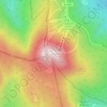
Name: Großer Arber topographic map, elevation, terrain.
Average elevation: 1,141 m
Minimum elevation: 829 m
Maximum elevation: 1,445 m