Geolocate

Leire topographic map

Click on the map to display elevation.

About this map
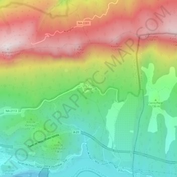
Name: Leire topographic map, elevation, terrain.

Location: Leire, Yesa, Zangozerria / Comarca de Sangüesa, Spain (42.61562 -1.19078 42.65562 -1.15078)

Average elevation: 815 m

Minimum elevation: 429 m

Maximum elevation: 1,346 m

Gear up for your next adventure:

🧰Emergency Multi-Tool - Compact multi-tool for outdoor survival
🥾Mountain Hiking Boots - High-traction boots for rocky terrain
🥾Waterproof Hiking Boots - Boots keeping your feet dry in wet conditions
📷Outdoor Action Camera - Capture high-elevation views and rugged adventures
🔋Lithium AA Batteries - Long-lasting power that performs in extreme cold

As an Amazon Associate, this site earns from qualifying purchases at no extra cost to you.