
Chinchwad topographic map
Interactive map
Click on the map to display elevation.
About this map
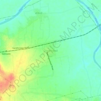
Name: Chinchwad topographic map, elevation, terrain.
Location: Chinchwad, Kolhapur, Maharashtra, 416112, India (16.68436 74.29785 16.72436 74.33785)
Average elevation: 548 m
Minimum elevation: 531 m
Maximum elevation: 578 m