Geolocate

Duntroon topographic map

Click on the map to display elevation.

About this map

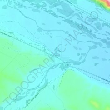
Name: Duntroon topographic map, elevation, terrain.

Location: Duntroon, Waitaki District, Canterbury, New Zealand (-44.87384 170.66321 -44.83384 170.70321)

Average elevation: 150 m

Minimum elevation: 123 m

Maximum elevation: 379 m

Gear up for your next adventure:

🍽️Titanium Camping Spork - Ultralight and indestructible eating utensil
🔦LED Flashlight - Powerful and long-lasting flashlight for camping and emergencies
🚲Heavy Duty Bike Lock - Secure your bike at the trailhead or during stops
🧭GPS Handheld Device - Reliable GPS navigation for outdoor adventures
Family Camping Tent - Spacious tent suitable for family camping trips

As an Amazon Associate, this site earns from qualifying purchases at no extra cost to you.