Geolocate

Berán topographic map

Click on the map to display elevation.

About this map

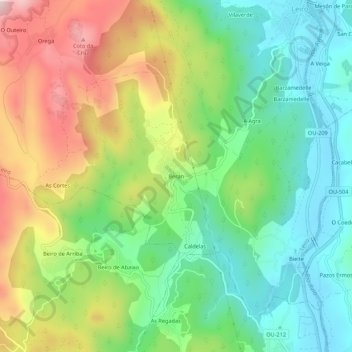
Name: Berán topographic map, elevation, terrain.

Location: Berán, Leiro, O Ribeiro, Ourense, Galicia, 32425, Spain (42.33115 -8.16390 42.37115 -8.12390)

Average elevation: 243 m

Minimum elevation: 75 m

Maximum elevation: 520 m

Gear up for your next adventure:

🔦LED Headlamp - Hands-free lighting for early morning starts or late finishes
🦶Anti-Blister Balm - Prevents friction and hotspots during long ascents
🧣Evaporative Cooling Towel - Beat the heat during intense summer climbs
🧭GPS Tracker - Track your location in remote areas safely
🧣Merino Neck Gaiter - Protects against wind, sun, and cold at high altitudes

As an Amazon Associate, this site earns from qualifying purchases at no extra cost to you.