Geolocate

Ben Lomond topographic map

Click on the map to display elevation.

About this map

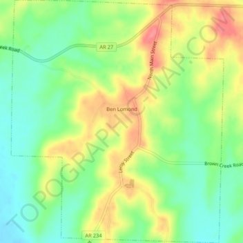
Name: Ben Lomond topographic map, elevation, terrain.

Location: Ben Lomond, Sevier County, Arkansas, 71823, United States (33.81654 -94.13563 33.85009 -94.10026)

Average elevation: 117 m

Minimum elevation: 83 m

Maximum elevation: 161 m

Gear up for your next adventure:

🥾Mountain Hiking Shoes - Shoes with superior grip for mountainous terrain
🥫Freeze-Dried Meals - Lightweight, high-calorie nutrition for multi-day treks
🛶Canoe Life Vest - Safety vest for water sports
Bushcraft Tarp - Versatile emergency shelter or gear protection
🧼Biodegradable Camp Soap - Environmentally friendly cleaning for gear and body

As an Amazon Associate, this site earns from qualifying purchases at no extra cost to you.