Geolocate

Atlantis topographic map

Click on the map to display elevation.

About this map

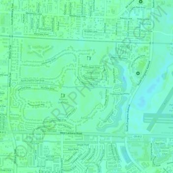
Name: Atlantis topographic map, elevation, terrain.

Location: Atlantis, Palm Beach County, Florida, United States (26.58796 -80.11478 26.60362 -80.08971)

Average elevation: 8 m

Minimum elevation: 3 m

Maximum elevation: 11 m

Other topographic maps

Click on a map to view its topography, its elevation and its terrain.

Gear up for your next adventure:

🥾Trail Running Boots - Durable shoes designed for trail running
🚲Heavy Duty Bike Lock - Secure your bike at the trailhead or during stops
🔥Emergency Fire Starter - Reliable ignition source for all weather conditions
🍽️Titanium Camping Spork - Ultralight and indestructible eating utensil
🥾Trekking Boots - Durable boots for long-distance trekking

As an Amazon Associate, this site earns from qualifying purchases at no extra cost to you.