Geolocate

Genting topographic map

Click on the map to display elevation.

About this map

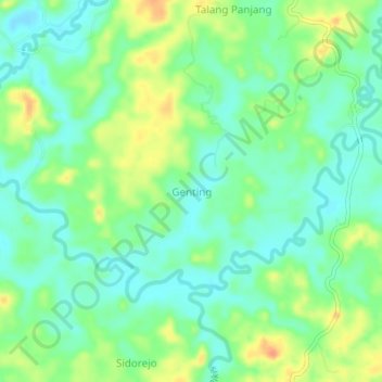
Name: Genting topographic map, elevation, terrain.

Location: Genting, Bengkulu Tengah, Bengkulu, Sumatra, Indonesia (-3.66605 102.27545 -3.62605 102.31545)

Average elevation: 22 m

Minimum elevation: 5 m

Maximum elevation: 49 m

Gear up for your next adventure:

🧭Orienteering Kit - Tools for map reading and navigation in the wild
🧭GPS Tracker - Track your location in remote areas safely
🛶Canoe Life Vest - Safety vest for water sports
🧦Thermal Socks - Warm socks for winter hiking or camping
🦯Trekking Poles - Reduced impact on joints for steep topographic climbs

As an Amazon Associate, this site earns from qualifying purchases at no extra cost to you.