
Eglfing topographic map
Click on the map to display elevation.
About this map
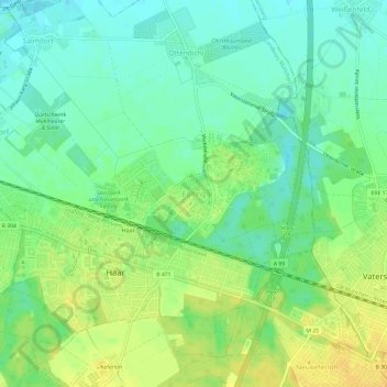
Name: Eglfing topographic map, elevation, terrain.
Location: Eglfing, Haar, Landkreis München, Bavaria, 85540, Germany (48.09439 11.72110 48.13439 11.76110)
Average elevation: 540 m
Minimum elevation: 528 m
Maximum elevation: 554 m