
Oak Island topographic map
Click on the map to display elevation.
About this map
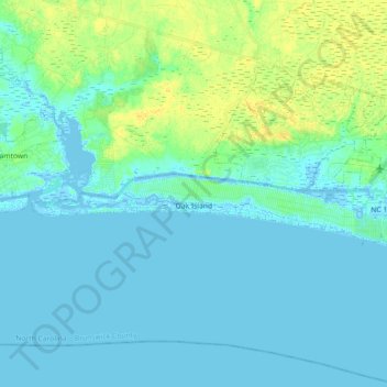
Name: Oak Island topographic map, elevation, terrain.
Average elevation: 5 m
Minimum elevation: -5 m
Maximum elevation: 19 m
Other topographic maps
Click on a map to view its topography, its elevation and its terrain.
Boiling Spring Lake Dam
United States > North Carolina > Brunswick County > Boiling Spring Lakes
Average elevation: 14 m
Bald Head Island
United States > North Carolina > Brunswick County > Bald Head Island
Average elevation: 3 m