
Stöten topographic map
Interactive map
Click on the map to display elevation.
About this map
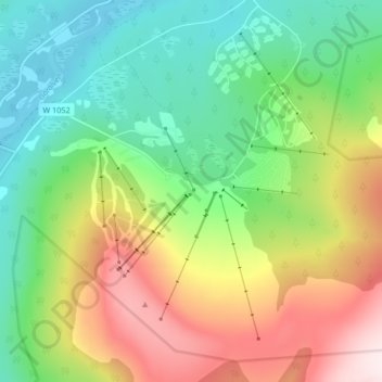
Name: Stöten topographic map, elevation, terrain.
Location: Stöten, Malung-Sälens kommun, Dalecarlia, 78067, Sweden (61.24605 12.87046 61.28605 12.91046)
Average elevation: 590 m
Minimum elevation: 404 m
Maximum elevation: 900 m