Geolocate

Appleton-le-Moors topographic map

Click on the map to display elevation.

About this map

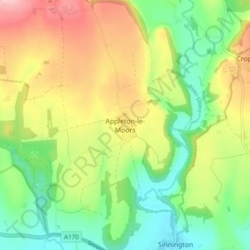
Name: Appleton-le-Moors topographic map, elevation, terrain.

Location: Appleton-le-Moors, Ryedale, North Yorkshire, England, YO62 6TF, United Kingdom (54.26151 -0.89251 54.30151 -0.85251)

Average elevation: 104 m

Minimum elevation: 37 m

Maximum elevation: 196 m

Other topographic maps

Click on a map to view its topography, its elevation and its terrain.

Fadmoor

United Kingdom > England > North Yorkshire > Ryedale

Average elevation: 148 m

Gear up for your next adventure:

Backpacking Tent - Lightweight tent for long-distance hiking trips
🥽Outdoor Goggles - Protective eyewear for outdoor activities
🥾Trail Running Boots - Durable shoes designed for trail running
👟Sport Hiking Sandals - Breathable footwear for water crossings and camp rest
🛶Waterproof Dry Bags - Keep electronics and clothes dry during river crossings

As an Amazon Associate, this site earns from qualifying purchases at no extra cost to you.