Geolocate

Pantoja topographic map

Click on the map to display elevation.

About this map
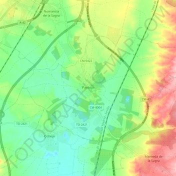
Name: Pantoja topographic map, elevation, terrain.

Location: Pantoja, La Sagra, Toledo, Castile-La Mancha, 45290, Spain (40.02087 -3.87315 40.06906 -3.76991)

Average elevation: 533 m

Minimum elevation: 479 m

Maximum elevation: 624 m

Gear up for your next adventure:

🎒Fully Waterproof Backpack - Total protection for photography gear and electronics
🧦Hiking Liner Socks - Thin base layer to prevent friction and blisters
🥾Light Hiking Boots - Lightweight and comfortable boots for day hikes
🥾Hiking Gaiters - Protect legs and shoes from mud, snow, and debris
🛌Down Sleeping Bag - Superior warmth-to-weight ratio for cold nights

As an Amazon Associate, this site earns from qualifying purchases at no extra cost to you.