
Everest topographic map
Interactive map
Click on the map to display elevation.
About this map
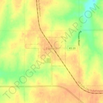
Name: Everest topographic map, elevation, terrain.
Location: Everest, Brown County, Kansas, United States (39.67262 -95.43351 39.68021 -95.41993)
Average elevation: 346 m
Minimum elevation: 319 m
Maximum elevation: 358 m