Geolocate

Paris topographic map

Click on the map to display elevation.

About this map
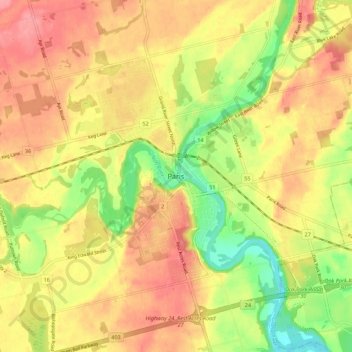
Name: Paris topographic map, elevation, terrain.

Location: Paris, Brant County, Ontario, N3L 2M3, Canada (43.15323 -80.42428 43.23323 -80.34428)

Average elevation: 258 m

Minimum elevation: 208 m

Maximum elevation: 294 m

Brant County trails, hiking, mountain biking, running and outdoor activities

Gear up for your next adventure:

🔦LED Flashlight - Powerful and long-lasting flashlight for camping and emergencies
🩹Compact First Aid Kit - Pre-packed essentials for common trail injuries
🚲MTB Frame Bag - Carry tools and maps directly on your bicycle frame
💡LED Camping Lantern - Illuminate your campsite with long-lasting lanterns
🎒Hiking Backpack - Lightweight and ergonomic backpacks for day hikes or multi-day treks

As an Amazon Associate, this site earns from qualifying purchases at no extra cost to you.