
Deep River topographic map
Interactive map
Click on the map to display elevation.
About this map
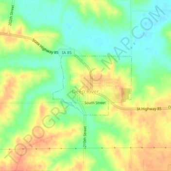
Name: Deep River topographic map, elevation, terrain.
Location: Deep River, Poweshiek County, Iowa, United States (41.57650 -92.38179 41.58590 -92.36516)
Average elevation: 265 m
Minimum elevation: 243 m
Maximum elevation: 286 m