Geolocate

Alert topographic map

Click on the map to display elevation.

About this map

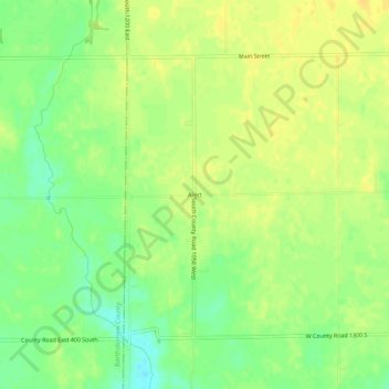
Name: Alert topographic map, elevation, terrain.

Location: Alert, Decatur County, Indiana, 47236, United States (39.14033 -85.69831 39.18033 -85.65831)

Average elevation: 232 m

Minimum elevation: 217 m

Maximum elevation: 241 m

Other topographic maps

Click on a map to view its topography, its elevation and its terrain.

Greensburg

United States > Indiana > Decatur County

Average elevation: 288 m

St. Paul

United States > Indiana > Decatur County

Average elevation: 258 m

Gear up for your next adventure:

🥾Trail Hiking Shoes - Durable shoes designed for rugged trails
🥾Hiking Boots - Sturdy boots providing ankle support and traction on rugged trails
🔦LED Flashlight - Powerful and long-lasting flashlight for camping and emergencies
🧊Portable Cooler - Keep food and drinks cold during outdoor adventures
🧥Waterproof Jacket - Lightweight rain jackets for hiking and outdoor activities

As an Amazon Associate, this site earns from qualifying purchases at no extra cost to you.