
Bristol topographic map
Click on the map to display elevation.
About this map
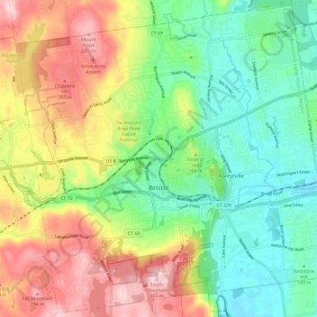
Name: Bristol topographic map, elevation, terrain.
Location: Bristol, Hartford County, Connecticut, United States (41.63960 -72.99855 41.72317 -72.88339)
Average elevation: 159 m
Minimum elevation: 57 m
Maximum elevation: 313 m
Other topographic maps
Click on a map to view its topography, its elevation and its terrain.
Green Manor Village
United States > Connecticut > Hartford County > Windsor Locks > Green Manor Village
Average elevation: 43 m