Geolocate

Melukote topographic map

Click on the map to display elevation.

About this map

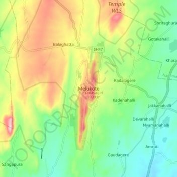
Name: Melukote topographic map, elevation, terrain.

Location: Melukote, Pandavapura taluk, Mandya, Karnataka, 571431, India (12.62241 76.60965 12.70241 76.68965)

Average elevation: 920 m

Minimum elevation: 802 m

Maximum elevation: 1,111 m

Gear up for your next adventure:

🧥Waterproof Hiking Jacket - Protect yourself from rain and wind while hiking
📷Outdoor Action Camera - Capture high-elevation views and rugged adventures
🧴Outdoor Sunscreen - High SPF protection for high-altitude UV exposure
🔦LED Headtorch - Bright and durable light for night activities
🎒Backpack Rain Cover - External shield to keep your entire pack dry

As an Amazon Associate, this site earns from qualifying purchases at no extra cost to you.