Geolocate

Ethelbert topographic map

Click on the map to display elevation.

About this map

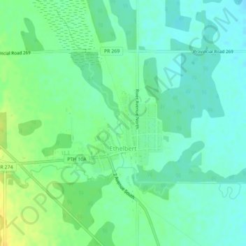
Name: Ethelbert topographic map, elevation, terrain.

Location: Ethelbert, Municipality of Ethelbert, Manitoba, Canada (51.52027 -100.40908 51.53702 -100.38678)

Average elevation: 342 m

Minimum elevation: 333 m

Maximum elevation: 355 m

Municipality of Ethelbert trails, hiking, mountain biking, running and outdoor activities

Gear up for your next adventure:

🚲Handlebar Phone Mount - View topographic-map.com live while cycling
🦶Hiking Shoe Insoles - Added support for high arches and long days on feet
🥾Trail Hiking Socks - Comfortable socks to prevent blisters and fatigue
🛏️Sleeping Bag - Warm and compact sleeping bags for outdoor camping
🧤Thermal Hiking Gloves - Grip-enhanced gloves for cold-weather altitude trekking

As an Amazon Associate, this site earns from qualifying purchases at no extra cost to you.