
Carquinez Heights topographic map
Interactive map
Click on the map to display elevation.
About this map
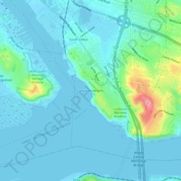
Name: Carquinez Heights topographic map, elevation, terrain.
Average elevation: 18 m
Minimum elevation: -11 m
Maximum elevation: 117 m
Other topographic maps
Click on a map to view its topography, its elevation and its terrain.
Mare Island
United States > California > Solano County > Vallejo
Mare Island, Vallejo, Solano County, California, 94592, United States
Average elevation: 107 m