Geolocate

Vacaville topographic map

Click on the map to display elevation.

About this map

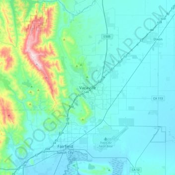
Name: Vacaville topographic map, elevation, terrain.

Location: Vacaville, Solano County, California, 95688, United States (38.19658 -122.14774 38.51658 -121.82774)

Average elevation: 110 m

Minimum elevation: -2 m

Maximum elevation: 851 m

Gear up for your next adventure:

🕶️Polarized Sunglasses - Reduces glare from snow and water at high elevations
🪑Insulated Seat Pad - Protect your seat from cold rocks and wet logs
🥾Waterproof Hiking Shoes - Durable shoes for wet and rugged trails
🔋Solar Power Bank - Keep your GPS and devices charged during long outdoor trips
🥾Light Trekking Boots - Supportive boots for multi-day treks

As an Amazon Associate, this site earns from qualifying purchases at no extra cost to you.