Geolocate

Seaforth topographic map

Click on the map to display elevation.

About this map
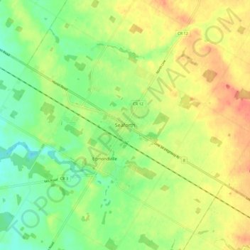
Name: Seaforth topographic map, elevation, terrain.

Location: Seaforth, Huron East, Huron County, Ontario, N0K 1W0, Canada (43.51343 -81.43342 43.59343 -81.35342)

Average elevation: 312 m

Minimum elevation: 288 m

Maximum elevation: 338 m

Huron County trails, hiking, mountain biking, running and outdoor activities

Gear up for your next adventure:

🧥Thermal Layer - Insulating layer for cold outdoor conditions
🧴Insect Repellent - Protect yourself from bugs during outdoor adventures
🩹Moleskin Blister Pads - Direct protection for painful foot pressure points
🧊Insulated Water Bottle - Keeps drinks cold in summer and prevents freezing in winter
🥾Approach Shoes - Shoes designed for climbing approaches and rugged trails

As an Amazon Associate, this site earns from qualifying purchases at no extra cost to you.