Geolocate

San Francisco topographic map

Click on the map to display elevation.

About this map

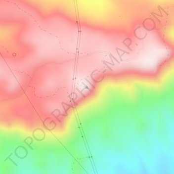
Name: San Francisco topographic map, elevation, terrain.

Location: San Francisco, Catron County, New Mexico, United States (33.75943 -108.88551 33.75953 -108.88541)

Average elevation: 2,440 m

Minimum elevation: 2,179 m

Maximum elevation: 2,614 m

Gear up for your next adventure:

🧶550 Survival Paracord - Versatile utility cord for emergency repairs and rigging
🦶Hiking Shoe Insoles - Added support for high arches and long days on feet
🪑Ultralight Camping Stool - Compact seating for rest stops during long hikes
🧦Hiking Liner Socks - Thin base layer to prevent friction and blisters
💧Collapsible Water Bottle - Space-saving water bottle for outdoor activities

As an Amazon Associate, this site earns from qualifying purchases at no extra cost to you.