
Maumelle topographic map
Click on the map to display elevation.
About this map
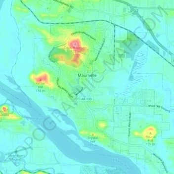
Name: Maumelle topographic map, elevation, terrain.
Location: Maumelle, Pulaski County, Arkansas, 72113, United States (34.81571 -92.44281 34.88690 -92.34761)
Average elevation: 87 m
Minimum elevation: 71 m
Maximum elevation: 171 m
Other topographic maps
Click on a map to view its topography, its elevation and its terrain.
Willow Beach Lake Dam
United States > Arkansas > Pulaski County > North Little Rock
Average elevation: 73 m