Geolocate

Talegaon Dabhade topographic map

Click on the map to display elevation.

About this map

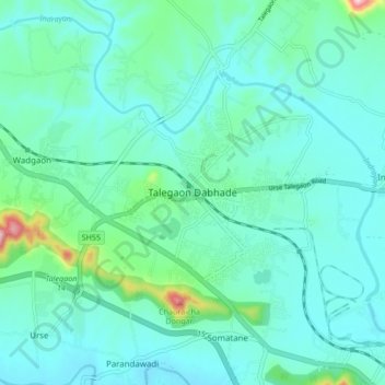
Name: Talegaon Dabhade topographic map, elevation, terrain.

Location: Talegaon Dabhade, Mawal, Maharashtra, 410506, India (18.71371 73.65286 18.75371 73.69286)

Average elevation: 622 m

Minimum elevation: 581 m

Maximum elevation: 738 m

Gear up for your next adventure:

🧭GPS Handheld Device - Reliable GPS navigation for outdoor adventures
🎒Hiking Daypack - Lightweight and durable backpacks for day trips and excursions
🥽Outdoor Goggles - Protective eyewear for outdoor activities
🧤Rechargeable Heated Gloves - Extreme warmth for Canadian winter expeditions
👟Sport Hiking Sandals - Breathable footwear for water crossings and camp rest

As an Amazon Associate, this site earns from qualifying purchases at no extra cost to you.