Geolocate

Saint-Pie topographic map

Click on the map to display elevation.

About this map
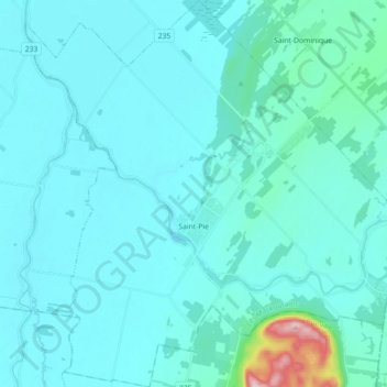
Name: Saint-Pie topographic map, elevation, terrain.

Location: Saint-Pie, Les Maskoutains, Montérégie, Quebec, J0H 1W0, Canada (45.45246 -72.98350 45.57835 -72.80866)

Average elevation: 54 m

Minimum elevation: 23 m

Maximum elevation: 391 m

Les Maskoutains trails, hiking, mountain biking, running and outdoor activities

Gear up for your next adventure:

🥾Trail Running Boots - Durable shoes designed for trail running
🚲Handlebar Phone Mount - View topographic-map.com live while cycling
🌬️Windproof Camp Stove - Efficient cooking even on exposed mountain peaks
🧴Outdoor Sunscreen - High SPF protection for high-altitude UV exposure
⛺Camping Groundsheet - Protect your tent from moisture and dirt

As an Amazon Associate, this site earns from qualifying purchases at no extra cost to you.