
New Hamburg topographic map
Click on the map to display elevation.
About this map
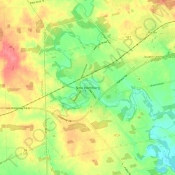
Name: New Hamburg topographic map, elevation, terrain.
Average elevation: 351 m
Minimum elevation: 315 m
Maximum elevation: 390 m
Region of Waterloo trails, hiking, mountain biking, running and outdoor activities
Other topographic maps
Click on a map to view its topography, its elevation and its terrain.
The Township of Wilmot Arboretum
Canada > Ontario > Region of Waterloo > Wilmot > New Hamburg > Luxemburg
Average elevation: 342 m