Geolocate

Rongio Superiore topographic map

Click on the map to display elevation.

About this map
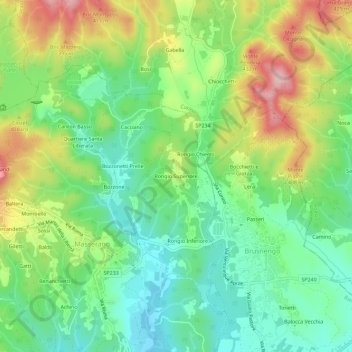
Name: Rongio Superiore topographic map, elevation, terrain.

Location: Rongio Superiore, Masserano, Biella, Piedmont, 13862, Italy (45.58236 8.21787 45.62236 8.25787)

Average elevation: 318 m

Minimum elevation: 241 m

Maximum elevation: 447 m

Gear up for your next adventure:

🔭Compact Binoculars - Lightweight optics for scouting trails and wildlife
👟Sport Hiking Sandals - Breathable footwear for water crossings and camp rest
🪑Insulated Seat Pad - Protect your seat from cold rocks and wet logs
🧤Thermal Hiking Gloves - Grip-enhanced gloves for cold-weather altitude trekking
🚲Heavy Duty Bike Lock - Secure your bike at the trailhead or during stops

As an Amazon Associate, this site earns from qualifying purchases at no extra cost to you.