Geolocate

Spring Hill topographic map

Click on the map to display elevation.

About this map

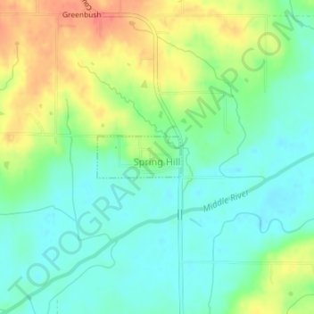
Name: Spring Hill topographic map, elevation, terrain.

Location: Spring Hill, Warren County, Iowa, United States (41.41034 -93.65486 41.41397 -93.64520)

Average elevation: 263 m

Minimum elevation: 241 m

Maximum elevation: 299 m

Gear up for your next adventure:

🧢Beanie Hat - Keep your head warm in cold weather
🕶️Polarized Sunglasses - Protect your eyes with durable polarized lenses
🧶550 Survival Paracord - Versatile utility cord for emergency repairs and rigging
🧢Outdoor Cap - Protective cap for sun and rain during hikes
💡Compact LED Flashlight - Powerful and portable flashlight for outdoor use

As an Amazon Associate, this site earns from qualifying purchases at no extra cost to you.