
Make a donation
Gear up for your next adventure:
As an Amazon Associate, this site earns from qualifying purchases at no extra cost to you.
Col du Frêne topographic map
Click on the map to display elevation.
Make a donation
Gear up for your next adventure:
As an Amazon Associate, this site earns from qualifying purchases at no extra cost to you.
Col du Frêne
Le col du Frêne est un col routier alpin situé dans le massif des Bauges, sur la commune de Saint-Pierre-d'Albigny, en Savoie, à 950 m d'altitude. Il est une des voies d'accès à l'intérieur du massif des Bauges depuis la combe de Savoie ; il est dominé au nord-est par la dent d'Arclusaz.
Make a donation
Gear up for your next adventure:
As an Amazon Associate, this site earns from qualifying purchases at no extra cost to you.
About this map
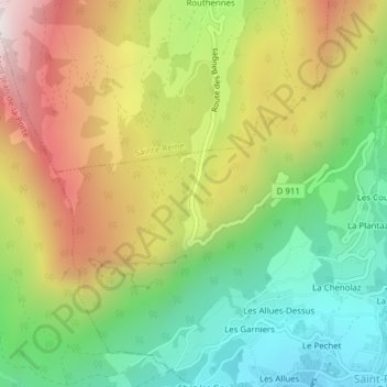
Name: Col du Frêne topographic map, elevation, terrain.
Average elevation: 874 m
Minimum elevation: 381 m
Maximum elevation: 1,520 m
Make a donation
Gear up for your next adventure:
As an Amazon Associate, this site earns from qualifying purchases at no extra cost to you.
Other topographic maps
Click on a map to view its topography, its elevation and its terrain.
73250
France > Auvergne-Rhône-Alpes > Savoie > Saint-Pierre-d'Albigny > Le Pechet
Average elevation: 786 m