Geolocate

Frankfort topographic map

Click on the map to display elevation.

About this map

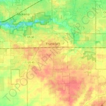
Name: Frankfort topographic map, elevation, terrain.

Location: Frankfort, Will County, Illinois, United States (41.44126 -87.90718 41.53163 -87.76234)

Average elevation: 225 m

Minimum elevation: 196 m

Maximum elevation: 249 m

Gear up for your next adventure:

💧Hydration Bladder - Hands-free hydration solution for long treks
💡LED Camping Lantern - Illuminate your campsite with long-lasting lanterns
🥤Collapsible Travel Cup - Saves space and weight in your mess kit
🧣Merino Neck Gaiter - Protects against wind, sun, and cold at high altitudes
🛶Canoe Life Vest - Safety vest for water sports

As an Amazon Associate, this site earns from qualifying purchases at no extra cost to you.